Driving Directions
Detailed routes and directions to the airport from anywhere in Dominica
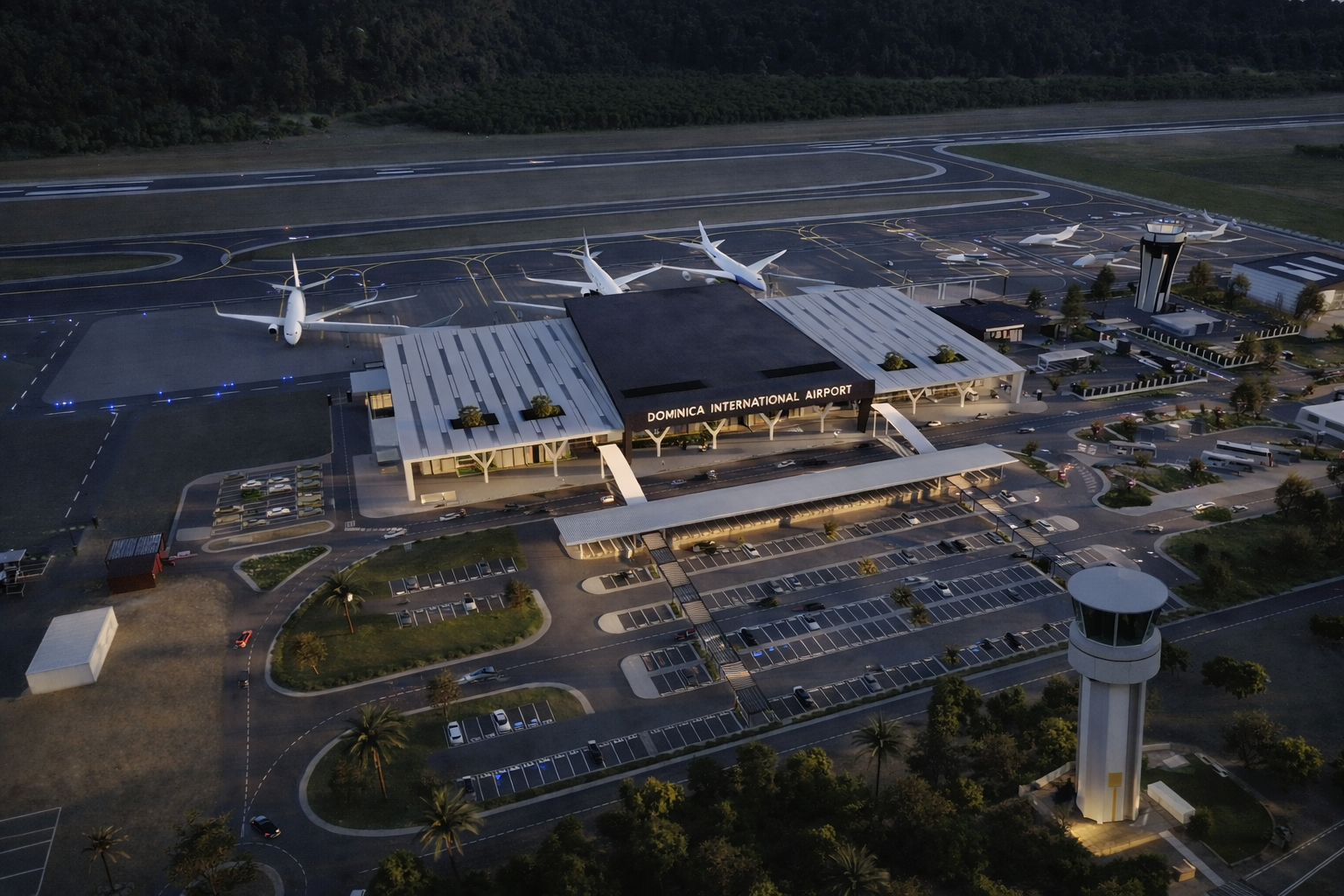
Airport Location
Address
International Airport Road
Wesley, Saint Andrew Parish
Commonwealth of Dominica
Latitude
15.5833°N
Longitude
61.3833°W
Directions from Major Towns
Step-by-step driving directions from popular starting points
From Roseau (Capital)
Via East Coast Road
-
1
Head north on Goodwill Road
Continue towards Canefield
-
2
Follow Edward Oliver Leblanc Highway
Continue through Massacre and Mahaut
-
3
At Pont Cassé roundabout, take 2nd exit
Follow signs for Castle Bruce/East Coast
-
4
Continue on East Coast Road
Pass through Castle Bruce and Marigot
-
5
Turn left at Wesley junction
Follow "Airport" signs to terminal
From Portsmouth
Via North Coast Road
-
1
Head south on Bay Street
Continue towards Glanvillia
-
2
Follow North Coast Road
Pass through Calibishie
-
3
Continue to Wesley
Look for airport signs on the right
-
4
Turn right at airport entrance
Follow road to departures or arrivals
From Calibishie
Direct route south
-
1
Head south on main road
Follow signs for Wesley
-
2
Continue through Woodford Hill
Scenic coastal drive
-
3
Arrive at Wesley
Turn right at airport signs
From Marigot
Shortest route
-
1
Head north on main road
Follow coast northward
-
2
Continue to Wesley junction
Very short, direct route
-
3
Turn left at airport entrance
Follow to terminal
Essential Driving Information
Drive on LEFT
Very important! Traffic drives on the left side of the road in Dominica.
Winding Roads
Many roads are narrow and winding. Drive slowly and use horn at blind corners.
Speed Limits
Urban: 25 mph (40 km/h)
Rural: 40 mph (64 km/h)
Weather Alert
Roads can be slippery when wet. Reduce speed during and after rain.
Fuel Stations
Last station before airport is in Marigot. Fill up before arriving.
Emergency
Police: 999
Ambulance: 999
Fire: 999
Helpful Resources
Download Offline Maps
Cell signal can be limited in rural areas
GPS Coordinates
15.5833°N, 61.3833°W
Add Extra Time
Allow 15-30 min buffer for delays
Plan Your Journey
Need transportation from the airport? Explore all available options